
Rubirizi – Queen Elizabeth National Park
Rubirizi Queen Elizabeth National Park
Ribirize: Queen Elizabeth national park is partly occupied by Rubirizi District which formerly was called Bunyaruguru; before it was made a district head quarter. Rubirizi District occupies Queen Elizabeth national park through; Maramagambo, Kasyoha-Kitomi Forest, and these forest cover up about 784sqkm of Queen Elizabeth national park, that is, 50% of Rubirizi District’s geographical space.
Rubirizi district, in western Uganda, is located between latitudes; 0°N and 0°46’S of the equator and 29°41 East and 30°30′ East of Greenwich. Rubirizi district is boarded by Kasese district by the North. Rubirizi district is also bordered by Ibanda district in the north east, Bushenyi district in the south, Rukunjiri in the south west and Buhweju in the east. Ruburizi District is bordered by democratic republic of Congo in the west across the famous Lake Edward.
The part of Queen Elizabeth national park that falls under Rubirizi District is mainly a forested area with a hilly terrain and sharp valleys, some with craters. Rubirizi District occupies the southern boundaries of Queen Elizabeth national park; where the farmlands are located. The farmlands are the buffer zones of Queen Elizabeth national park. Agriculture is possible in this area because it receives two rainfall peaks; about 1500mm to 2000mm rainfall throughout the year.
Attractions in Rubirizi-Queen Elizabeth National Park
There is a coffee plantation in Kirungu Sub County; this is also an attraction to the coffee lovers that visit Queen Elizabeth national park. Kyambura Gorge is also located in Kirungu Sub county of Rubirizi District. Kyambura Gorge offers a nice Ariel view of Queen Elizabeth national park.
Magambo Sub County is where Maramagambo Forest is located; known for the historical cave of Nyanzibiri and the bat caves that attracts a lot of visitors to watch milliards of bats hung up on the top of the cave and the big snakes; pythons.
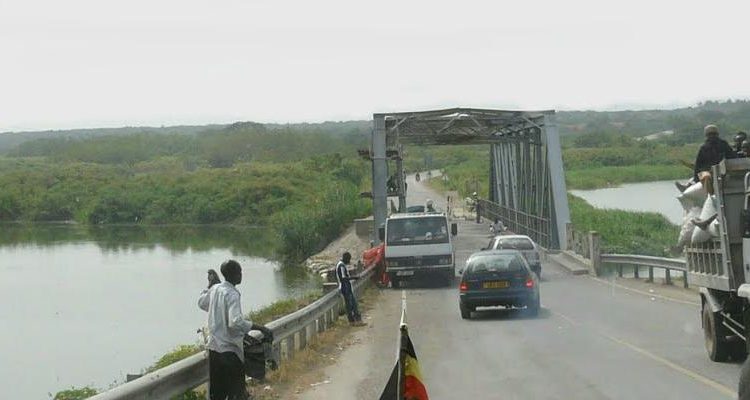
Katunguru Sub County is mainly occupied with a number of fishing villages. Katunguru Sub County of Rubirizi occupies Queen Elizabeth national park space about 393sq km almost 23% of Rubirizi District space. From Katunguru fishing village you can find out the facts about the diversity of African culture.
Kasyoha- Kitomi forest in Rubirizi District comprises of partially Lake Edward. Lake George, Kazinga Channel and about 32 crater lakes. Therefore, the water bodies cover about 370km that is approximately 20% of the districts. This makes the area adoptable to fishing, sport fishing among the rest.
Accommodation facilities in Rubirizi District- Queen Elizabeth National Park
Rubirizi section of Queen Elizabeth national park is frequented by visitors due to a number of accommodation facilities found in the area. They range from luxury to mid-range accommodation facilities and some are;
- Nyamusingiri lodge in Maramagambo Sub County
- Buffalo Hub lodge,
- King Fisher Lodge Kichwambwa
- Maramagambo camping site and
- Ishasha camping site among the rest.
The scenic view in the crater area of Rubirizi –Queen Elizabeth national park, will relax you. The undulating hilly terrain of the area is spectacular. Hiking in Maramagambo Forest is something you don’t want to miss out when you visit Queen Elizabeth national park. Plus the spectacular lodges and camping sites in Rubirizi District attract a lot of visitors to this part of Queen Elizabeth national park.